


FISH SMARTER – ABOVE AND BELOW THE WATERLINE
Knowledge is power—and the Element™ CHIRP sonar/GPS series from Raymarine gives you the upper hand when hunting for fish and their habitat. Delivering the sharpest view of the underwater world, Element’s HyperVision™ 1.2 megahertz sonar technology, turns up the resolution of DownVision, SideVision, and RealVision 3D to a new level of precision imaging and fish identification, letting you see structures, vegetation, and fish with amazing life-like clarity.
Built for anglers that want to be one step ahead of the game, Element delivers the sharpest view of the underwater world with HyperVision™ 1.2 megahertz super high-resolution sonar. HyperVision takes DownVision, SideVision, and Raymarine RealVision 3D sonar to the next level of precision imaging and fish identification, letting you see structures, vegetation, and fish with lifelike clarity.
Navionics Chart Features:
- View detailed shorelines with marinas, docks and boat ramp locations.
- Increase your awareness of shallow waters and hazardous areas at any depth level including shoals, rocks, wrecks and more.
- Target underwater structure to find the best fishing locations: roadbeds, foundations, bridges, brush piles, culverts and creek channels.
- Consult tides and currents to plan your boating activities.
- *Navionics small download – select your local region.
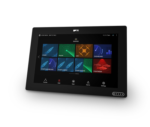
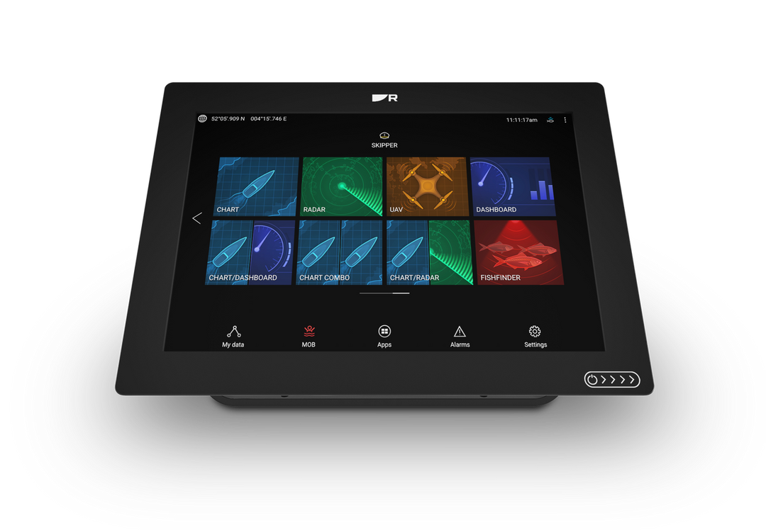
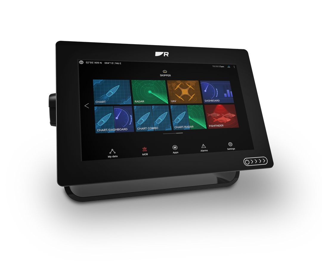
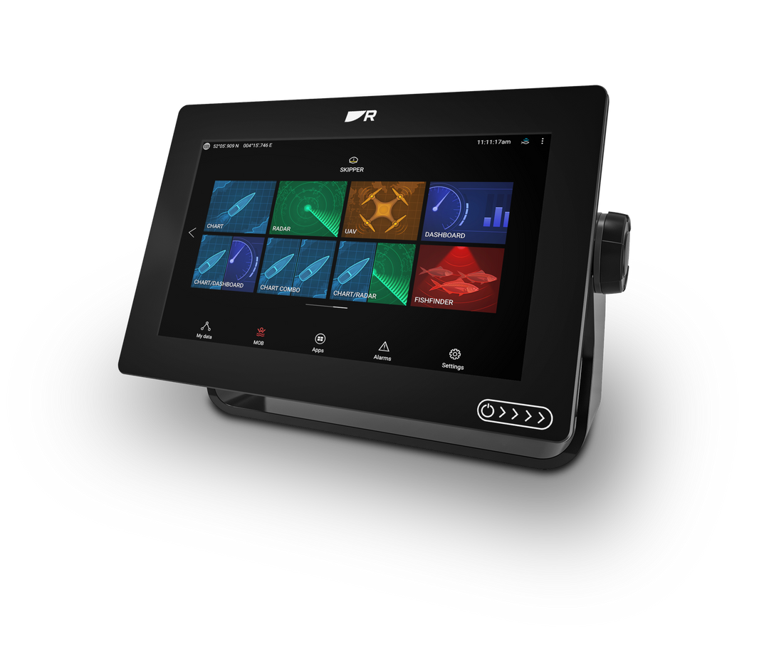
| GENERAL | |
| Display Size | 9.0″ Optically Bonded LCD |
| Display Resolution | 800 x 480 WVGA |
| Display Type | Non-Touch |
| Brightness | 1,500 nits |
| Viewing Angle | Top 50° / Bottom 60° / Left 70° / Right 70° |
| PHYSICAL | |
| Overall Dimensions | 287 x 161 x 62mm |
| W x H x D | (11.3 x 6.3 x 2.4 inches) |
| Product Weight (lbs) | 5 |
| Water Ingress Protection | IPx6 and IPx7 |
| Operating Temperature Range | -25°C to + 55°C (-13°F to 131°F) |
| Storage temperature range | -30°C to +70°C (-22°F to 158°F) |
| POWER | |
| Voltage | 12V DC (8V to 16V DC) |
| Power Consumption | 20 Watts |
| (max 12V DC) | |
| SENSORS | |
| GNSS / GPS | Built-in GNSS Receiver: GPS/GLONASS |
| Sonar Type (Built-in) | Built-in CHIRP Sonar, DownVision (Standard and Hyper), SideVision (Standard and Hyper), RealVision™ 3D (Standard and Hyper) |
| Sonar Connection | 15 pin HyperVision™ type connector |
| Sonar Depth | CHIRP Sonar = 274m (900 feet) |
| DownVision™ Standard = 183m (600 feet) | DownVision™ Hyper = 30m (100 feet) | |
| SideVision™ Standard = 91m (300 feet) | SideVision™ Hyper = 30m (100 feet) | |
| RealVision™ 3D Standard = 91m (300 feet) | RealVision™ 3D Hyper = 30m (100 feet) | |
| NETWORKING | |
| Ethernet | N/A |
| NMEA0183 | N/A |
| NMEA2000 | 1 x NMEA2000 port (DeviceNet microC) |
| Supported NMEA2000 Networking | INPUT: NMEA2000 Compatible Engines (Max 2) | NMEA2000 Compatible Tank Sensors (Max 4) | Heading Sensor (for Chart Stabilization) |
| OUTPUT: GPS (for VHF Distress and DSC) | |
| SeaTalkng | Requires A06045 DeviceNet female (F) adapter cable – 400mm |
| USB | N/A |
| Wi-Fi | WiFi – 802.11 b / g / n |
| BlueTooth | Bluetooth 4.0 + Low Energy + Power Class 1.5 |
| OTHER SPECIFICATIONS | |
| Cartography | Raymarine LightHouse NC2, Navionics, C-MAP Essentials, C-MAP 4D MAX+, and compatible with all charts listed on Raymarine Chart Store. |
| Tides & Currents | Requires LightHouse LNC2, Navionics or C-MAP |
| Waypoint / Routes / Tracks | 10,000 wpts / 200 wpt groups / 150 rts – 250 wpt max / 16 tracks – 10,000 max trk pts |
| Internal Memory | 8GB Solid State |
| External Memory | 1 x microSD slots – microSDHC max 32GB NTFS or FAT32 format / microSDXC max 2TB NTFS or FAT32 format (microSD native format of exFAT must be reformatted to NTFS or FAT32) |
Be the first to review “Raymarine Element 9 HV”
Related products
Sale!
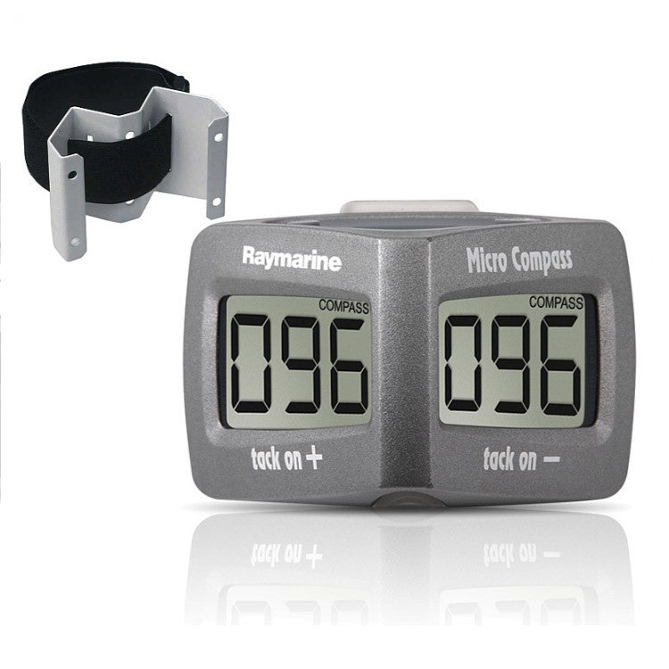
Raymarine
$84.98
Sale!
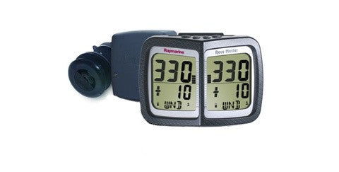
Raymarine
$19.99
Sale!
$19.99
Sale!
$33.97
Sale!

Raymarine
$35.97
Sale!
Raymarine
$48.98 – $56.98
Sale!
Raymarine
$19.99
Sale!
Raymarine
$41.98
Reviews
There are no reviews yet.